
Project Overview
Agriculture is the backbone of Pakistan's economy, contributing ~23% to GDP and employing 37% of the labor force. However, the sector suffers from low productivity, water inefficiency, and lack of modern technology. This project aims to digitize the entire agricultural value chain, from farm to fork.
The Precision Revolution: Closing the 40-60% Yield Gap
By adopting precision agriculture technologies—such as satellite monitoring, IoT soil sensors, and drone-based spraying—Pakistan can bridge the massive yield gap compared to regional leaders like China. Currently, Pakistan's wheat and rice yields are 40-60% lower than China's. Our Agri-GDP Impact Simulator below visualizes the economic potential of targeting a 30-50% yield increase across major crops. Closing this gap is not just an economic opportunity; it is a national security imperative.
Land Reclamation Strategy: 2-5 Million Acres
Pakistan has approximately 8-9 million hectares of "culturable waste" land. Through smart water management (drip/sprinkler systems) and drought-resistant seed varieties, we target bringing 2-5 million additional acres of arid land (specifically in Thar and Cholistan) under cultivation within the next decade. The simulator allows you to model the GDP impact of this massive land reclamation effort.
Digital Ecosystem
The project will deploy a "National Farmer Database" linked to land records, enabling targeted subsidies, easier access to credit, and direct market access for millions of smallholder farmers, eliminating exploitative middlemen.
The Green Digital Revolution
Unlocking $30B+ in value by modernizing Pakistan's largest economic sector.
Closing the 50% yield gap with China in Wheat, Rice, and Cotton.
Transforming deserts into breadbaskets using smart water tech.
Critical for long-term survival in a water-stressed nation.
Investment & Impact Analysis
High PriorityFinancial Performance
Data services, marketplace commissions, premium advisory services
Economic Multipliers
- Revitalization of rural economy in South Punjab and Sindh
- Poverty alleviation for smallholder farmers
30% reduction in fertilizer waste; 40% water saving.
Key Objectives
Key Deliverables
- Ministry of National Food Security & Research
- Provincial Agriculture Departments
- Agri-Tech Startups
- Financial Institutions (ZTBL)
- Public Sector Development Program (PSDP)
- World Bank Smart Agriculture Program
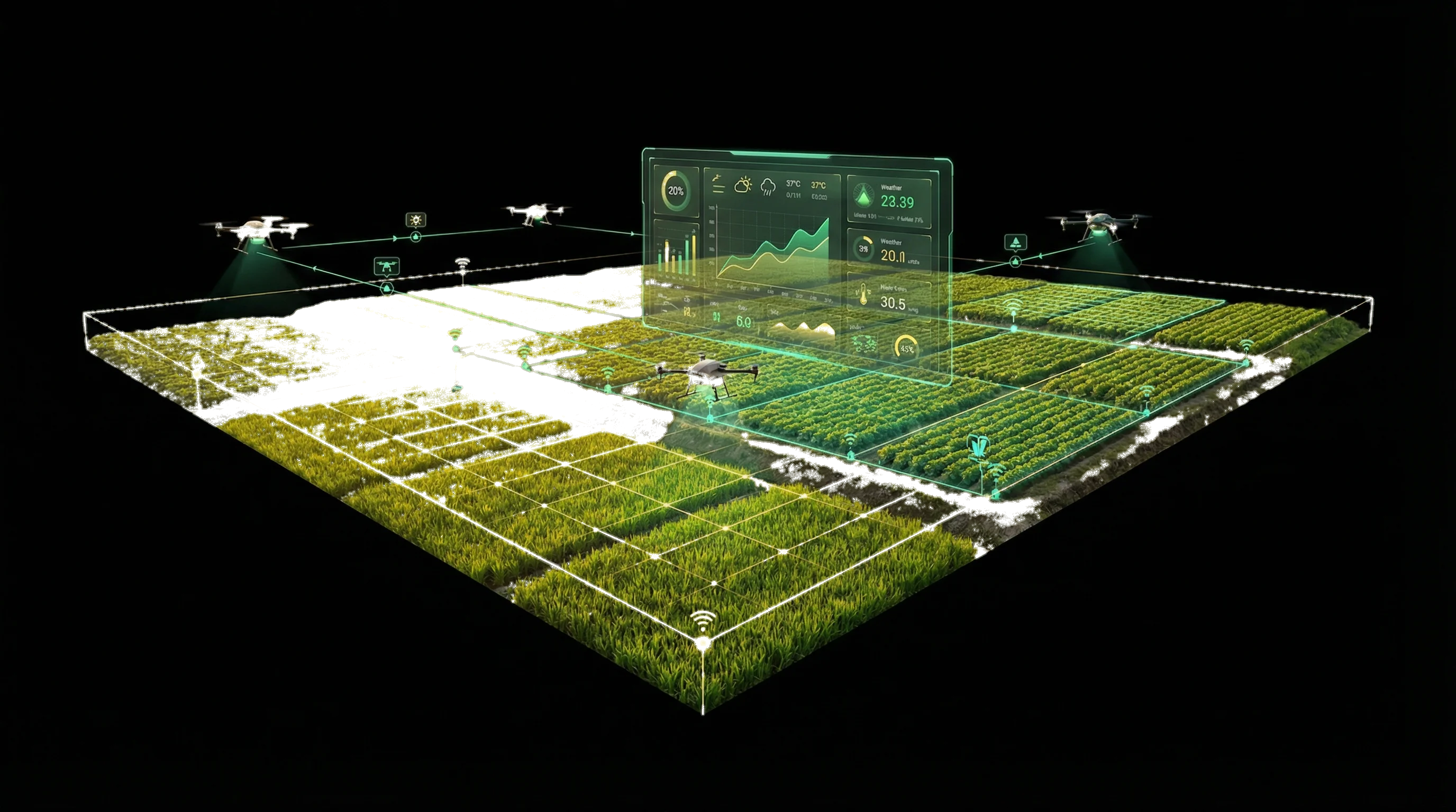
Technical Ecosystem Architecture
A unified "Chip-to-Cloud" architecture connecting on-ground sensors and drones with a centralized national AI cloud for real-time decision making.Click on components to view technical specifications
- • Multi-spectral Imaging Drones
- • Thermal & Night Vision
- • GP-SAR Sensors
- • Soil Moisture & NPK Sensors
- • Sub-surface Probes
- • Hyper-local Forecasting
- • Rain & Wind Monitoring
- • Sentinel-2 Imagery
- • Large-scale Yield Estimation
Ground Control Terminals for flight planning, airspace management, and real-time drone telemetry.
HPC Core
High Performance Computing Cluster
Smart Irrigation
Automated water release based on real-time soil moisture data.
Auto-Steering & Seeding
GPS-guided precision planting and fertilizer application.
Traceability & Health
Crop health monitoring and supply chain tracking.
Remote Management
Mobile app control for farmers and equipment operators.
Model Farm Dashboard
Real-time IoT sensor data streaming directly from our pilot facility in Okara, Punjab.

Soil Moisture
Temperature
Humidity
Smart Pump
Moisture levels optimal. System idle.
Last Packet Received: 2:40:35 PM • Protocol: MQTT/TLS • Uptime: 99.98%
Aerial Crop Valuation Engine
Combining macro-level satellite imagery with micro-level drone scans to determine precise crop value for insurance and lending.
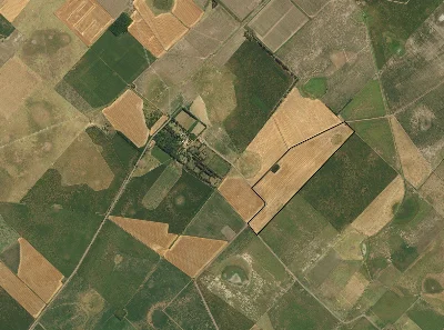
1. Satellite Boundary Detection
Identifies exact farm perimeter and total acreage.
2. Low-Altitude Drone Scan
LiDAR & Multispectral sensors identify crop specifics.
3. Market Valuation Engine
Calculates collateral value based on real-time commodity rates.
Drone Survey Booking
Schedule a high-precision LiDAR and multispectral drone scan for your farm. Get detailed soil health and crop density reports within 24 hours.
Standard Scan
PKR 250/acreRGB + NDVI mapping for crop health and density analysis.
Premium LiDAR
PKR 450/acre3D terrain mapping + soil moisture analysis + yield prediction.
Historical Yield Heatmap
Analyze 5-year productivity trends to identify high-performance zones and degraded soil patches.
Avg Yield (Maunds)
33.8
Seasonal Rainfall
High
Historical Record
Insight: The northeast sector shows consistent yield decline (2020-2022). Recommended action: Soil salinity test and gypsum application.
Farm-to-Market Blockchain
An immutable ledger tracking every step of the food supply chain, ensuring fair payments for farmers and food safety for consumers.
Harvest & Tagging
Produce is harvested and assigned a unique digital ID (QR Code) linked to the farm's geo-location and soil data.
Logistics & Cold Chain
IoT sensors on transport trucks record temperature and humidity on the blockchain to ensure freshness.
Wholesale Settlement
Smart contracts automatically release payment to the farmer's digital wallet upon successful delivery verification.
Retail & Consumer
Consumers scan the QR code in-store to view the entire journey, verifying origin and organic certification.
Eliminating Middlemen
Smart contracts enable direct payments from wholesalers to farmers, bypassing exploitative intermediaries.
Consumer Trust
Shoppers can scan QR codes to verify organic certification and origin, boosting export value.
Digital Financial Identity
Transaction history builds a credit score for farmers, unlocking access to formal bank loans.
Targeting 30-50% increase via VRT & Seeds.
Reclaiming arid land via Drip Irrigation.
% of total land converted to smart irrigation.
Yield Gap Analysis: Pakistan vs. China
* Data Source: World Bank & FAO Statistics. China's high yields are attributed to 85%+ adoption of precision farming techniques compared to <5% in Pakistan.
Crop Disease Detector
Experience our Computer Vision engine that detects early signs of disease with 95%+ accuracy, preventing crop loss before it spreads.
Upload Leaf Sample
Select a sample image to test the AI diagnosis
Early Detection
Identifies pathogens up to 7 days before visible symptoms appear to the naked eye, allowing for micro-targeted treatment.
Offline Capability
The AI model runs locally on the farmer's smartphone (Edge AI), requiring no internet connection for diagnosis in remote fields.
Trained on a dataset of 50,000+ local crop images from Punjab and Sindh.
Smart Irrigation Savings
Calculate how much water and money you can save by switching from traditional flood irrigation to IoT-enabled Drip or Sprinkler systems.
Projected Annual Savings
Based on switching to Smart Drip Irrigation
Liters per Season
Fuel & Pumping Costs
Yield Impact
Smart irrigation not only saves water but increases yield by preventing water-logging and nutrient leaching.